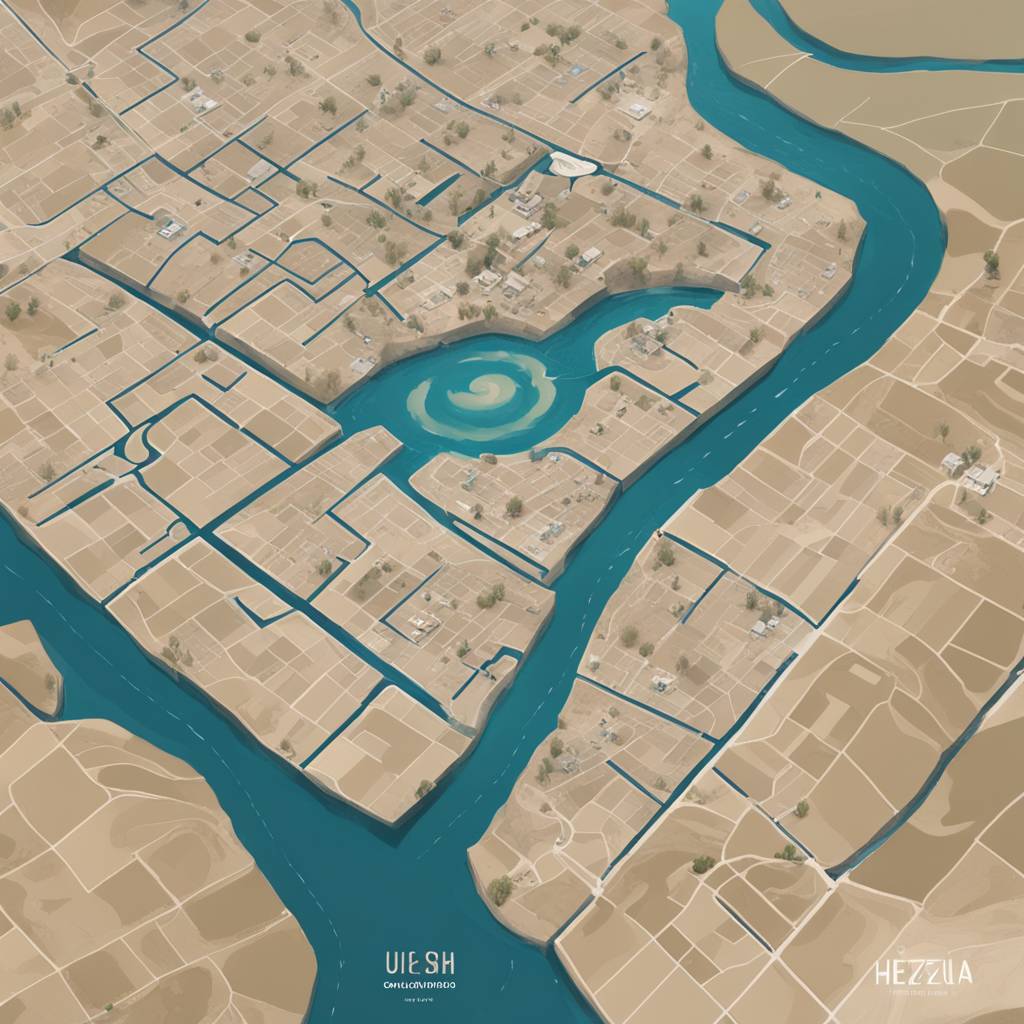
BiH Uses Satellite Imagery to Monitor Flood Risks in Herzegovina
The Ministry of Security of Bosnia and Herzegovina has activated satellite imagery of the Trebižat River area and the wider Herzegovina region, using the Copernicus EMS Rapid Mapping service, due to t...